
Our Services
Aerial Survey
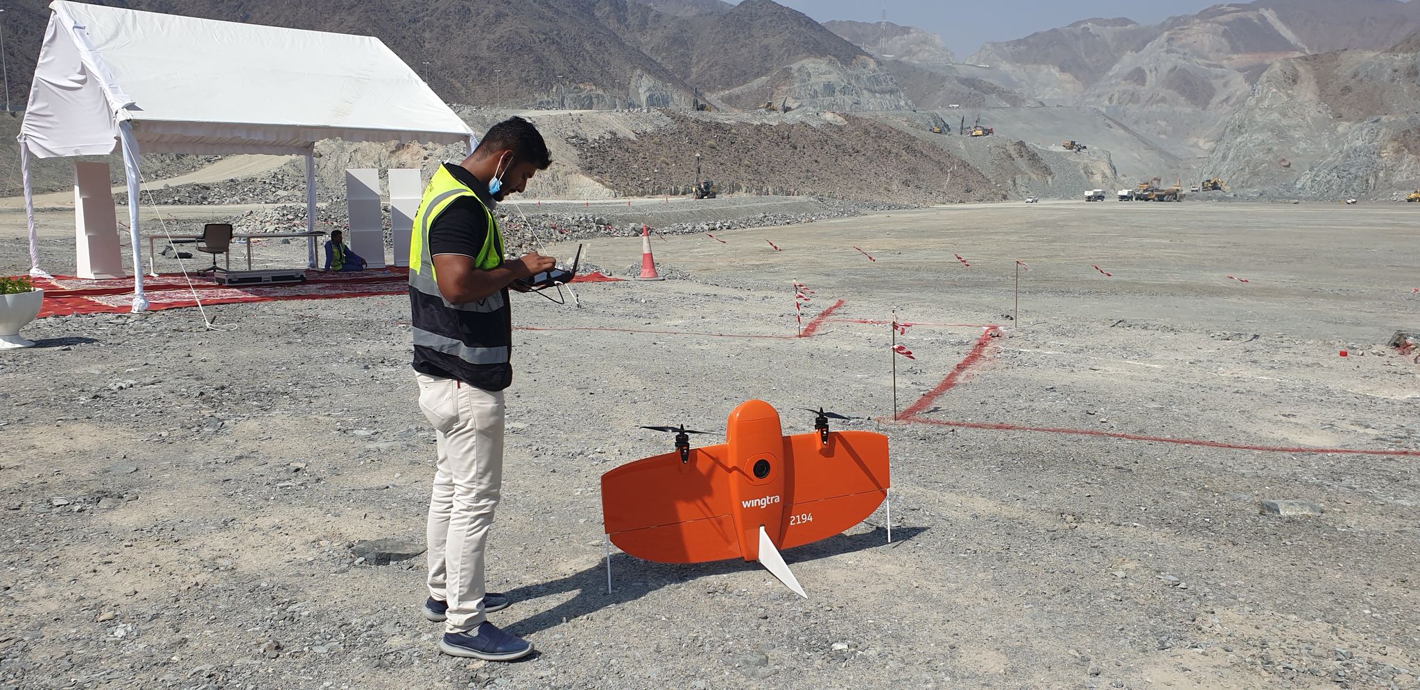
GEOTECH 3D employs a full-time professional staff & equipment, enabling us to provide a full range of professional aerial survey services. We own multi kinds of UAVs (Unmanned aerial vehicles).Some of them are multirotor used for simple land surveys or media records. Another type of VTOL ( vertical take-off & landing drone )used is the fly-over route; usually, we use it for mega projects and remote-accessible regions.
Our UAV, controlled by a computerized navigator, is used as a remote sensing instrument to capture ground surface details at any altitude. Exported data used as GIS-based orthophoto, generate DTM & DSM and many more outputs.
Search Now
Error: Contact form not found.