
Our Services
Land Surveying
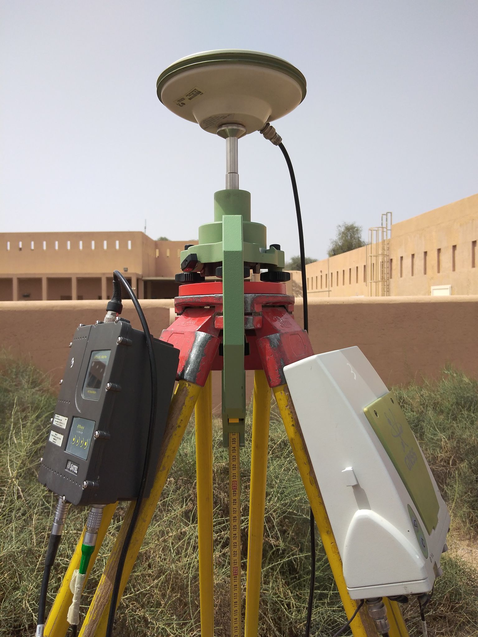
Geotech 3D employs full-time professional staff enabling us to provide a full range of professionals.
Surveying services, boundary and topographic surveys, construction stake-out, monitoring & environmental mapping, are some of the services we routinely provide to our clients.
Geotech 3D maintains the latest, most advanced field equipment and process the data with the most powerful modelling software available in the industry.
Planimetric Ground Survey Volumetric Survey Setting out Façade Survey
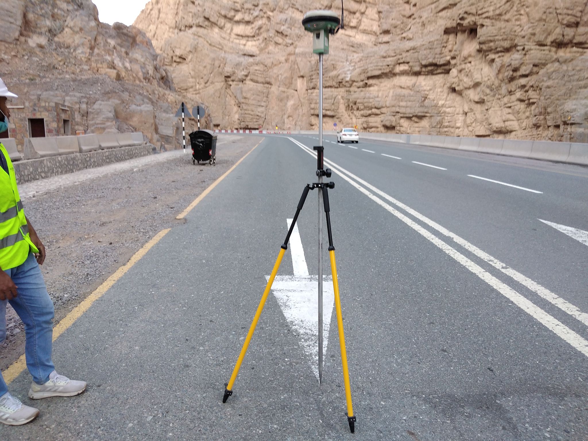
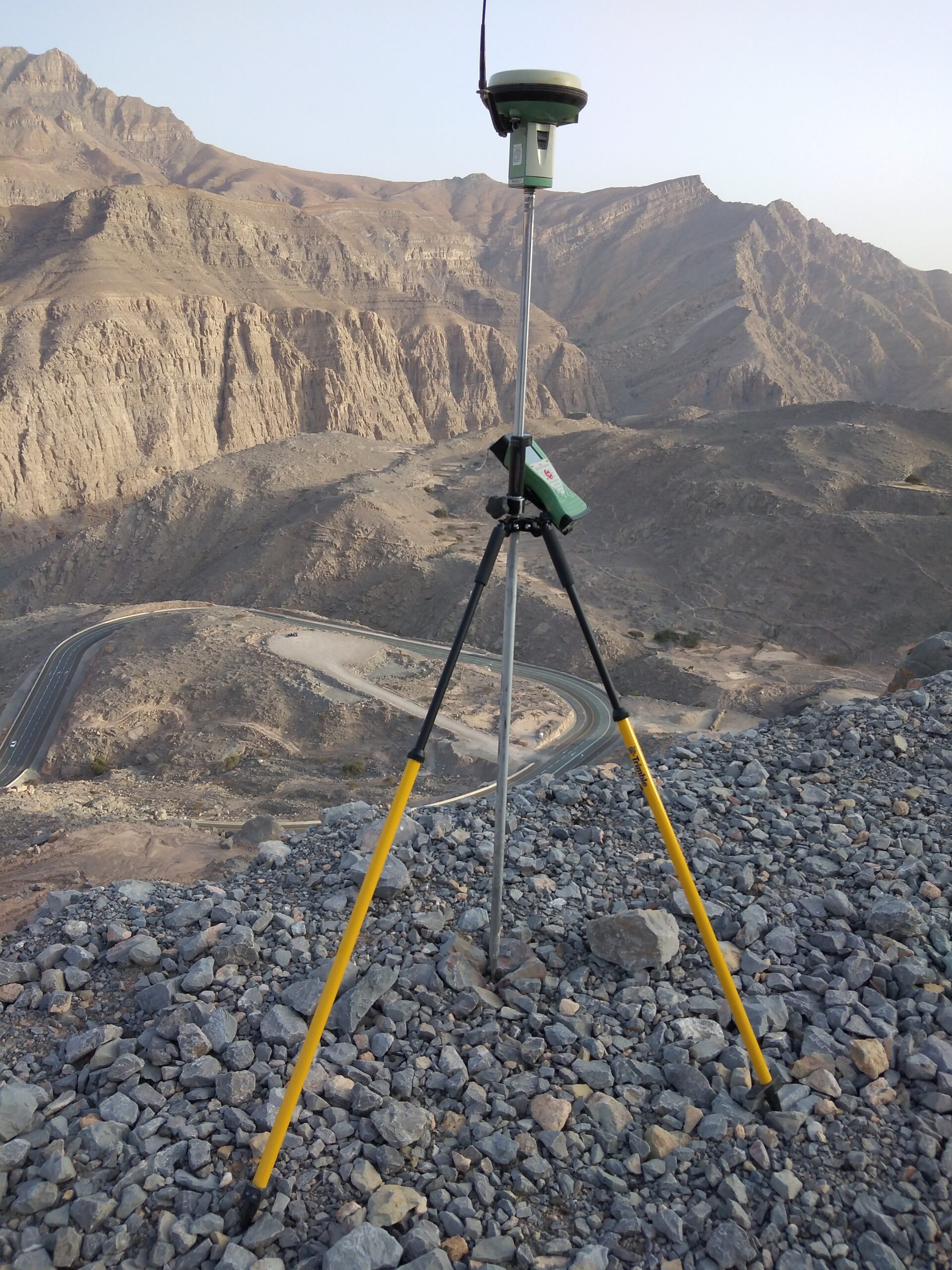
- Road design / Setout
- Roads Survey
- Design & Redesign Road
- Volumetric Calculation
- Setout Roads & Highways.
- Bridges & Tunnelling Survey Work
Search Now
Error: Contact form not found.